INNOVATIVE

ICT

SPECIAL

COMPANY

SOLUTION

IGIS

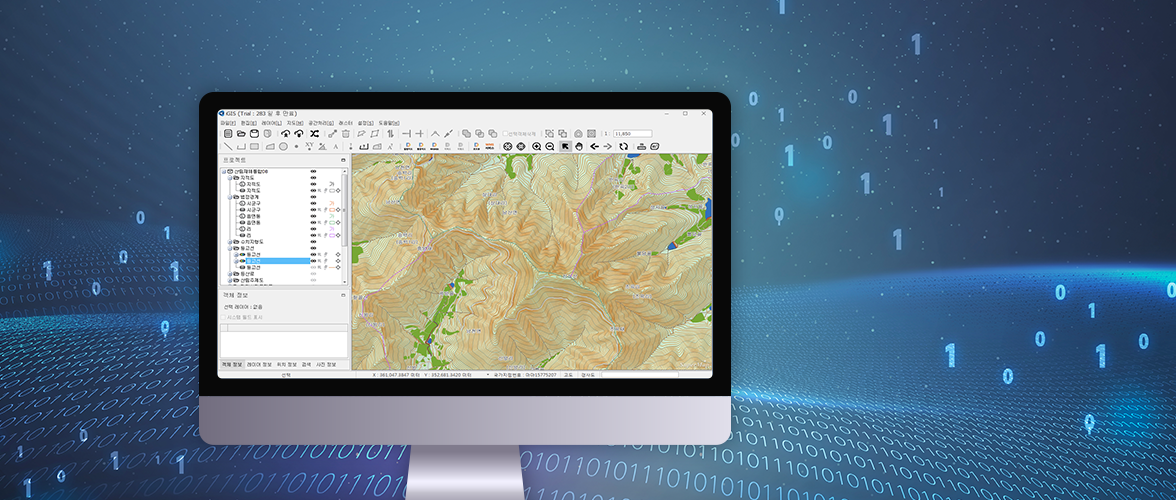
Forest Geospatial Information System for local governments(Forest)

A professional GIS solution for editing and analyzing spatial data easy to use with the function optimized in the Korean environment equipped.
Applications

  • · Possible to use in all forest-related affairs
  • · Design supporting function for skidding roads and forest trails
  • · Production of longitudinal and cross sectional views
  • · Analysis function (surface distance, surface area, visibility range, water flow, slope)
  • · Print output and layout provided

Download