INNOVATIVE

ICT

SPECIAL

COMPANY

SOLUTION

IGIS

Geographic Information Solution

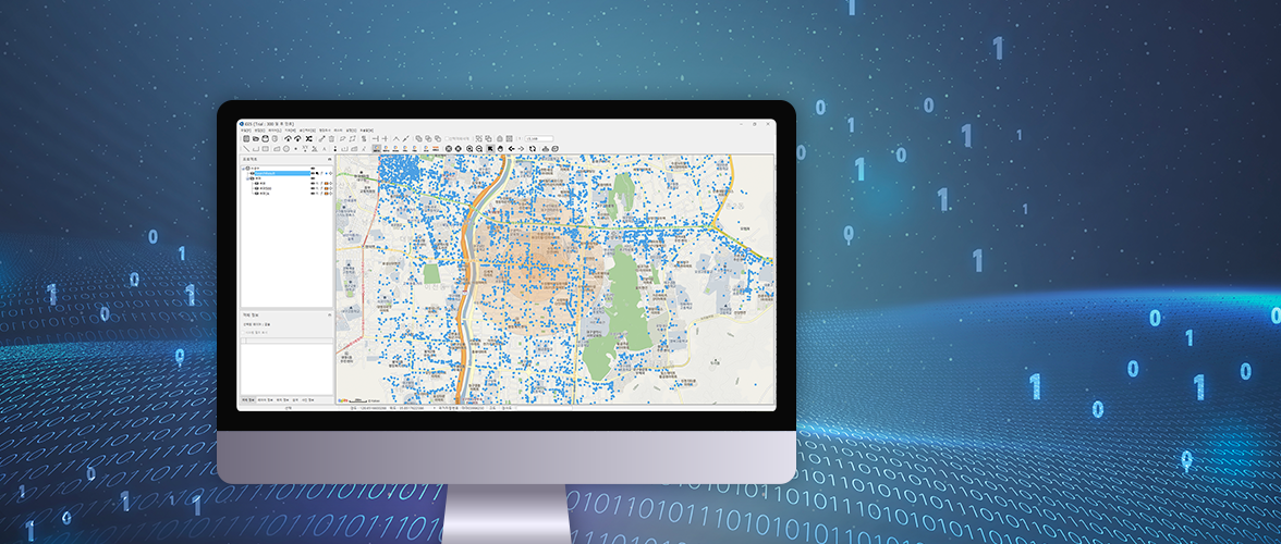
A professional GIS solution for editing and analyzing spatial data easy to use with the function optimized in the Korean environment equipped.

Applications

  • · Editing the structures of underground facilities (7 underground facilities)
  • · Structured editing on digital topographic map (Digital map Ver.2.0)

Advantages compared to foreign products

  • · Multiple users may use without additional costs through the support of concurrent license.
  • · UI environment easy to use by supporting Korean
  • · Automatic schema correction function provided
  • · Additional development support possible
  • · Excellent compatibility with CAD enabling structured editing without going through several steps
    (Structured editing possible without using CAD Map)
  • · Free from crackdown of foreign software

Download